Why is a new sidewalk being proposed along my property?
These locations are classified as missing links and are not easily accessible to individuals walking or rolling with mobility aids. Neighbourhood renewal design adheres to the Complete Streets Guidelines which promote a network that provides travel options for users of all ages and abilities. This means creating spaces that are safe, universally designed, context sensitive, and operable in all seasons (including winter). These options accommodate the needs of the present and future and contribute to the environmental sustainability and resiliency of the city.
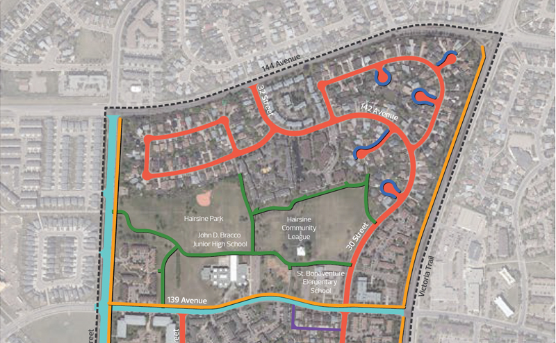
New sidewalks added where there previously were no sidewalks are not part of the Local Improvements in the neighbourhood. Where new sidewalks are proposed, the Project Team has taken into account turning movements of vehicles and on-street parking. New sidewalks will not encroach onto private property. The City road right-of-way typically extends two to three metres behind sidewalks. This road right-of-way will be considered for the location of the new sidewalks where possible.
Several City resources that address missing links include the Active Transportation Policy
C544
, Edmonton's
Walkability Strategy
(2009), the
Sidewalk Strategy - Ped Connections
(2008), Access Design Guide and Complete Streets Policy
C573A
.
Why are curb extensions and raised crosswalks being proposed throughout the neighbourhood?
Curb extensions and raised crosswalks are traffic calming measures implemented at intersections and mid-block crossings. They are proposed in key locations throughout the neighbourhood that have been identified by the Project Team and through public input.
They increase the comfort and safety of streets by reducing crossing distances for people walking and rolling, increasing the visibility between people walking and rolling and passing drivers, increasing the visibility for people driving that are turning onto or off of streets, reducing motor vehicle operating speeds, increasing the available pedestrian queuing area, and facilitating buses to stop in the travel lane when passengers are boarding and alighting. Curb extensions at intersections are engineered to enable vehicle turning movements of personal vehicles to fire trucks.
Will narrowing the road along 139 Avenue increase traffic congestion due to the proximity to schools, parking during school pick up/drop off and with buses?
139 Avenue is designed for two-way traffic (including buses) to flow through the travel lanes. The parking lanes will continue to accommodate typical vehicle and bus widths to not impact the driving lanes. Some parking will be reduced on the south side as a result of the new design, however improvements to 139 Avenue have been carefully considered to limit these impacts. The improvements will provide additional ways to safely travel through the neighbourhood and to school, whether walking, rolling or driving. The improvements also strive to achieve traffic calming and improved crossing locations along its length.
Why is a traffic circle being proposed at the intersection of 36 Street and 139 Avenue?
Various intersection controls were considered at this intersection, including curb extensions, four-way stops, traffic lights and a traffic circle. The traffic circle was considered the most viable option as it was ranked highest when considering current traffic volumes, increasing pedestrian safety and the reduction of vehicle-vehicle or vehicle-pedestrian collisions points. Compared to four-way stop intersections, the traffic circle will have the capacity to handle peak traffic flows at this intersection, which eliminates bottlenecking of traffic. One lane traffic circles are also much easier to use than multi-lane traffic circles, as entry and exit travel paths are limited.
Who will maintain the new greenery and plantings?
Maintenance and care of trees and shrubs will be performed by the City. Trees will introduce more shade to the area as they grow. This can also help reduce the heat impact in the area, provide vibrancy, slow traffic, and absorb more water and greenhouse gases. While uncommon with new trees, in the event trees are observed obstructing or growing into catch basins, please notify 311.
What is the City doing to improve snow removal?
City snow clearing services have a multitude of supplementary methods for addressing snow and ice concerns. School zones are designated windrow-free zones and the snow is removed by the City snow removal services. The design of all new roads, sidewalks, trails, landscaping and parks will incorporate current drainage standards to accommodate and ensure water flow to the storm sewer system. This will reduce ice build-up throughout winter by ensuring water enters the storm system instead of ponding on roadways or sidewalks.